AIDERS: Real-time Artificial Intelligence for DEcision support via RPAS data analyticS
The AIDERS project aims at developing application-specific algorithms and a novel mapping platform that will harness the large volume of data that first responders are now able to collect through heterogeneous sensors (including visual, thermal, and multispectral cameras, LIDAR, CBRN sensors, etc.) on-board RPAS units, and converting that data into actionable decisions for improved emergency response. To address this challenge, the AIDERS project will capitalize on:
- The long-lasting collaboration of the first responder and technical partners in the consortium to identify which information needs to be extracted from the collected data,
- Design online machine learning algorithms to process and analyze the received data in real time in order to build knowledge maps, and
- Implement novel visualizations that higher command can use to take intelligent decisions.
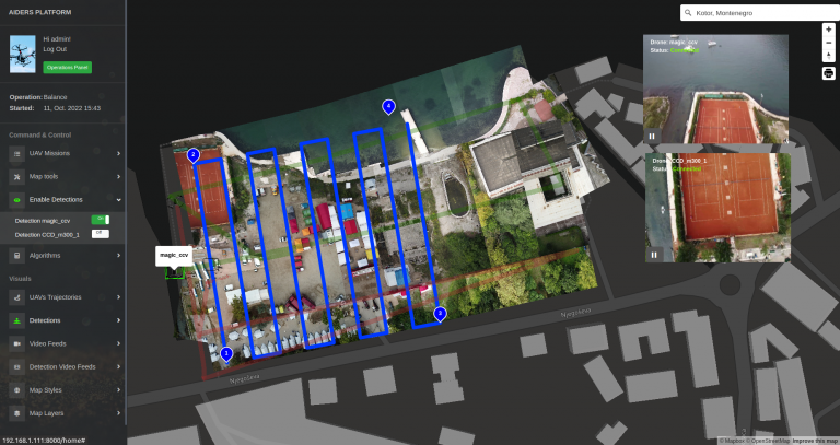
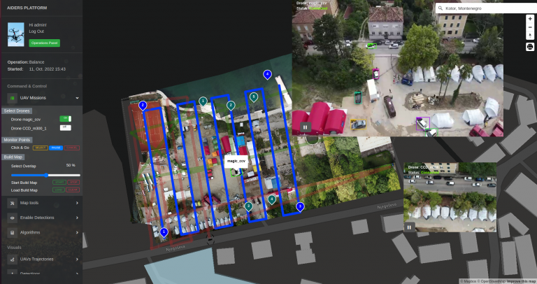
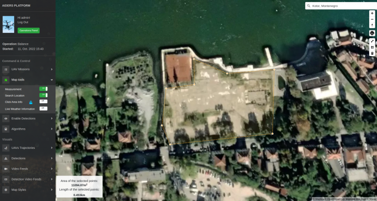
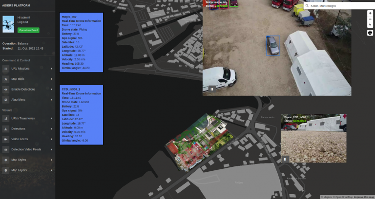
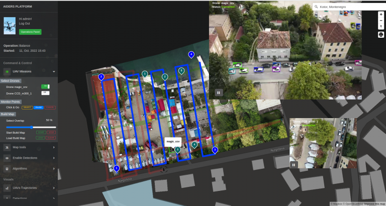
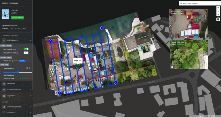
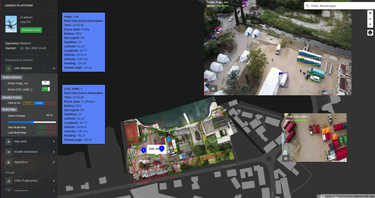
The AIDERS toolkit is a web-based platform that offers various tools for collecting and analyzing emergency response data from UAV sensors. The incident commanders can also command, control and view the drones in real time in a 3D map environment. This enables incident commanders to extract knowledge about the field’s operational conditions and assist them in designing evidence-based response strategies.
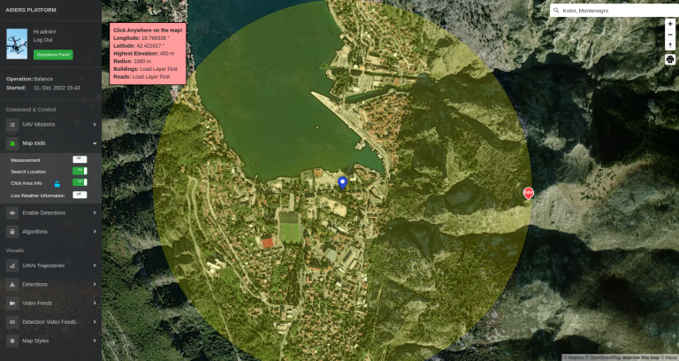
There are also several other tools offered that are non-UAV related, such as visualizing static information (e.g a country’s infrastructure), create georeferenced 3D objects, or simulate the propagation of a fire.
The toolkit is delivered in a containerized environment (Docker), along with an android application that is responsible for communicating with the UAV.
All the data are collected and stored locally on the machine the platform is installed.
You can download the AIDERS Toolkit here.