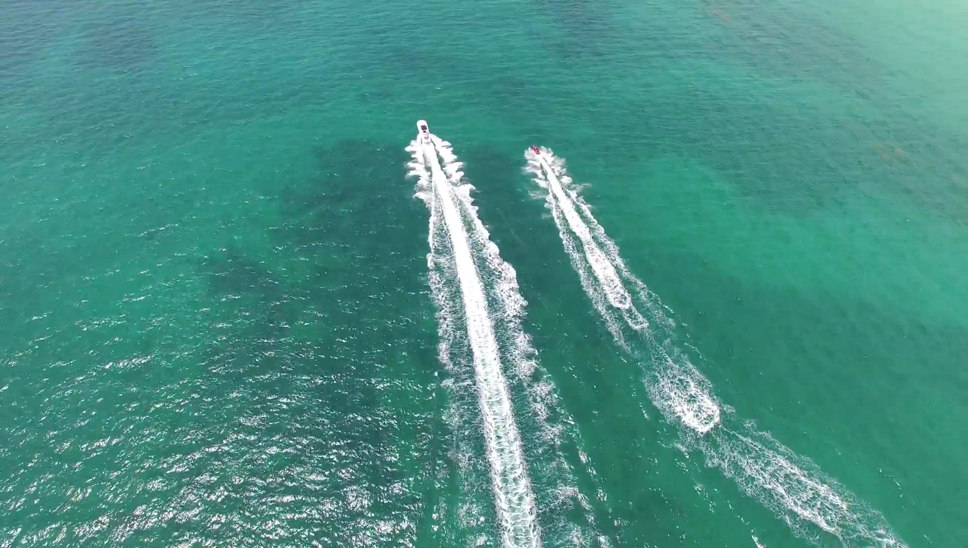
Aerial Vessels Detection Dataset
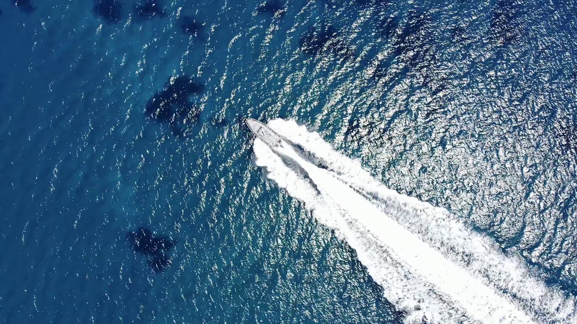
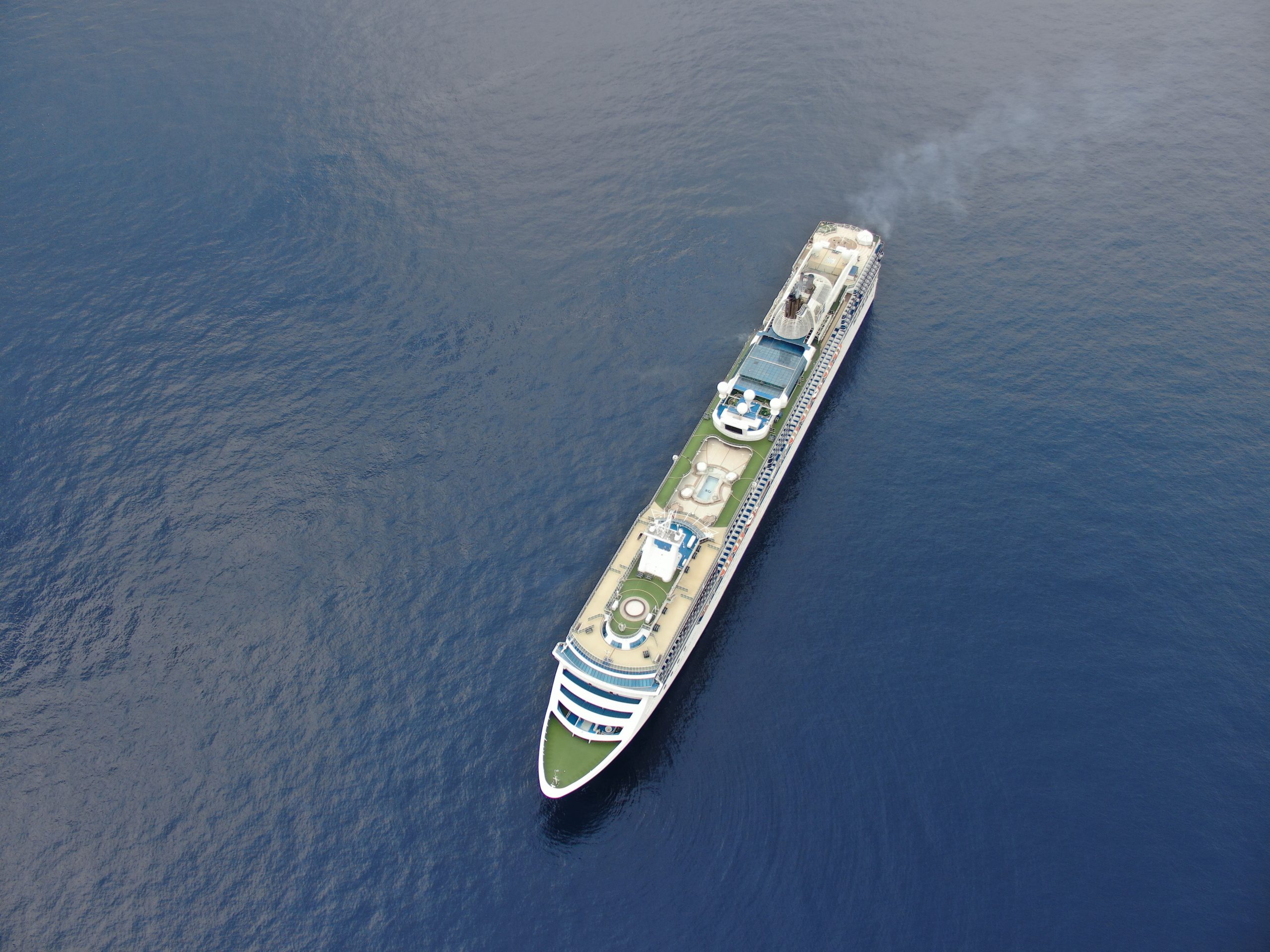
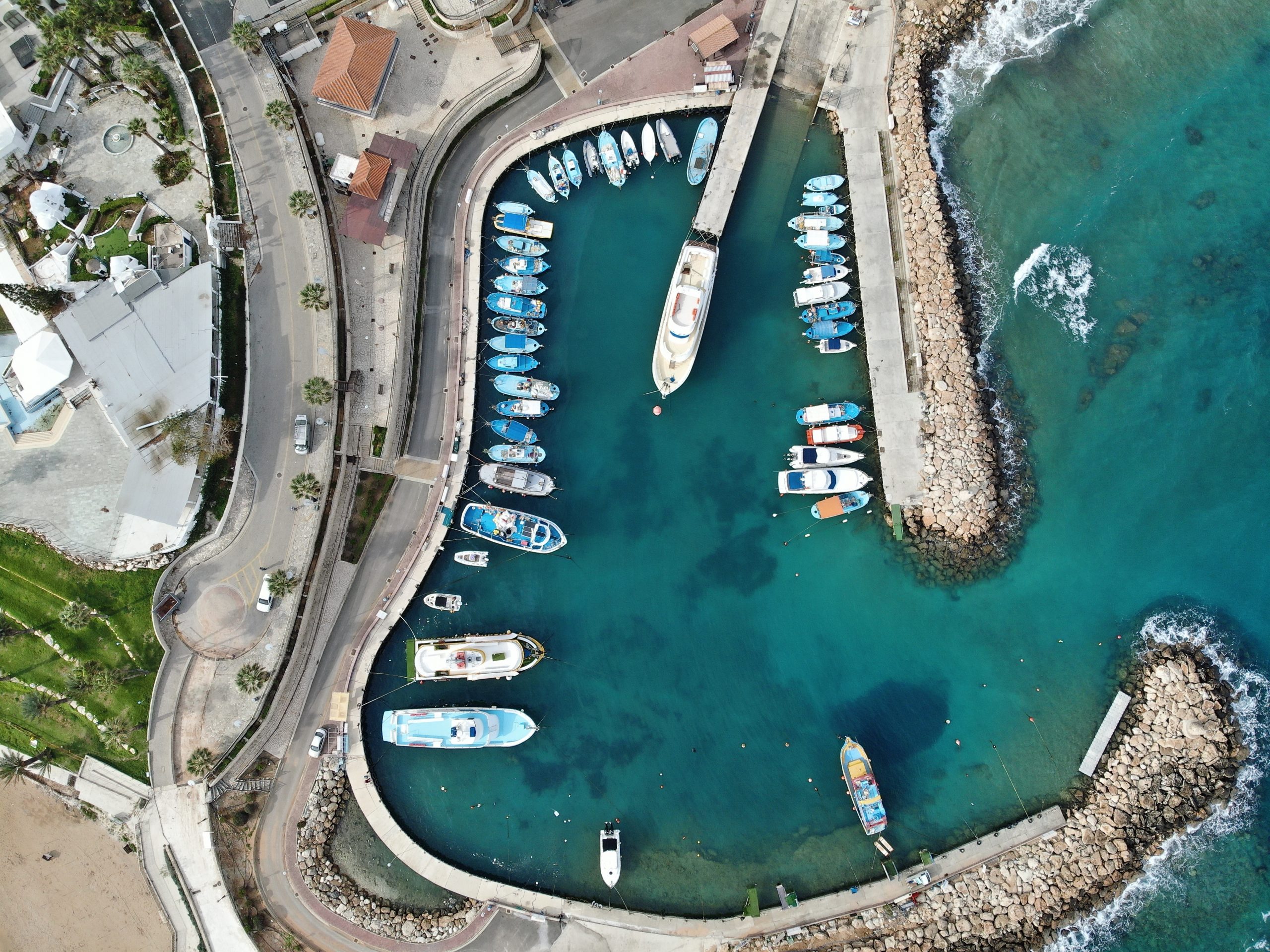
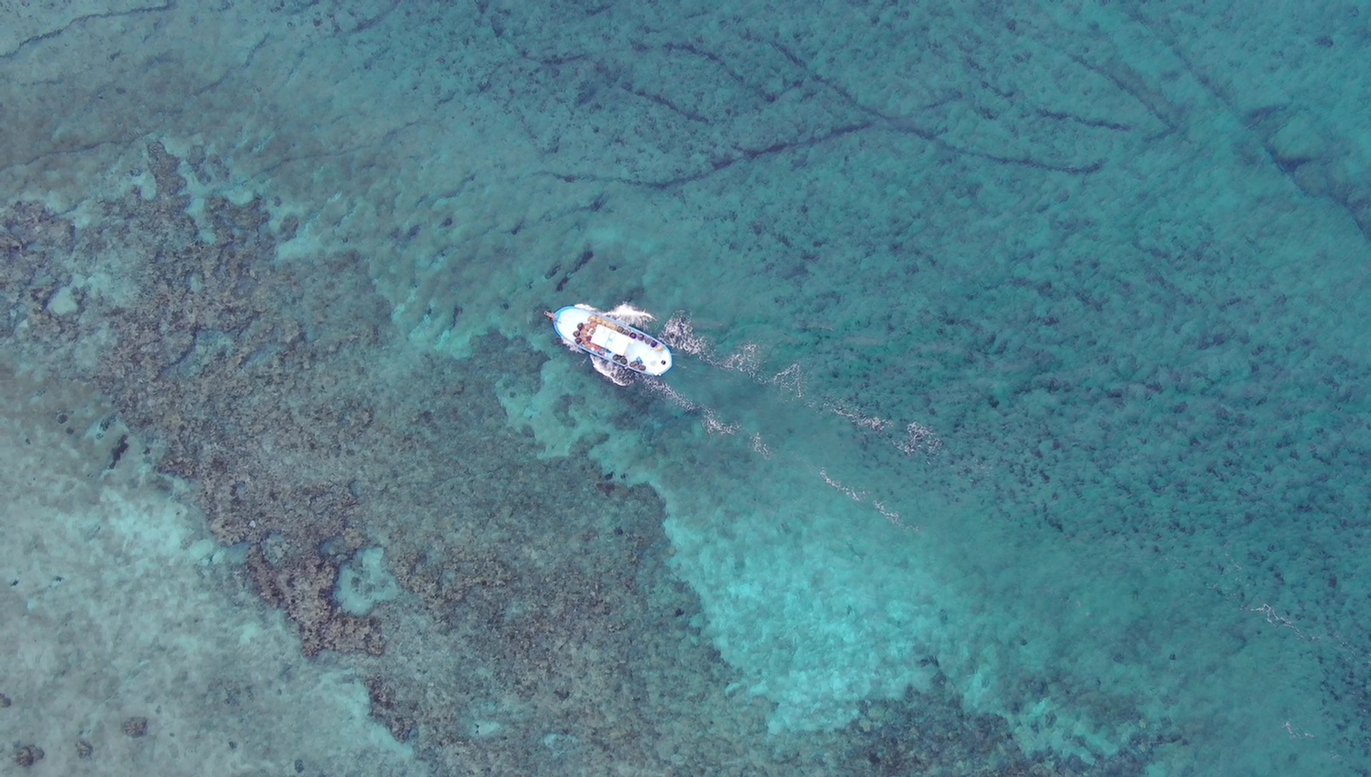
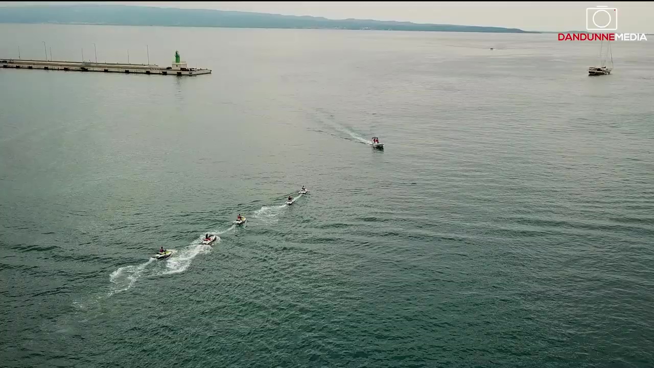
The dataset construction involved manually collecting all aerial images of vessels using UAV drones and manually annotated into three classes ‘Person’, ‘Ship’, and ”Boat’. The aerial images were collected through manual flights above Cyprus Coasts in Limassol, Famagusta and Larnaca areas. The main purpose of this dataset is to be used for marine monitoring. Capturing footage over large areas and localizing any unwanted vessels entering an area of interest, can aid in localizing refugees that illegally enter a country or manage marine traffic for commercial use.
The images are collected in 720p and Full HD (1080p) but are usually resized before training.
All images were manually annotated and inspected afterward with the vessels that indicate ‘Person’ for people detection, ‘Boat’ for small to medium-sized boats, and ‘Ship’ for large ships or commercial ships. All annotations were converted into VOC and COCO formats and initially labeled in YOLO, for training in numerous frameworks. The data collection took part in different periods.
The dataset includes a total of 10252 images of which 1024 are split for validation, 1025 for testing, and the rest 8203 for training.
| Subset | Images | Person | Boat | Shop |
| Training | 8203 | 219 | 48550 | 920 |
| Validation | 1024 | 7 | 5890 | 143 |
| Testing | 1025 | 13 | 5247 | 109 |
It is advised to further enhance the dataset so that random augmentations are probabilistically applied to each image prior to adding it to the batch for training. Specifically, there are a number of possible transformations such as geometric (rotations, translations, horizontal axis mirroring, cropping, and zooming), as well as image manipulations (illumination changes, color shifting, blurring, sharpening, and shadowing).