Aerial Water Buoys Dataset:
Over the past few years, a plethora of advancements in Unmanned Areal Vehicle (UAV) technologies have made possible advanced UAV-based search and rescue operations with transformative impact on the outcome of critical life-saving missions. This dataset aims into helping the challenging task of multi-castaway tracking and following using a single UAV. Due to the difficulty and data protection of capturing footage of people in the sea, we have captured a dataset of buoys in order to conduct experiments on multi-castaway tracking and following. A paper on multi-castaway tracking and following technical details and experiments will be published soon using this dataset.
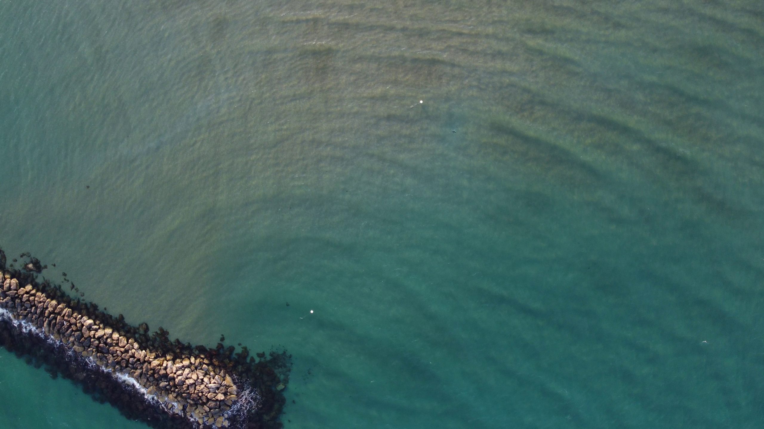
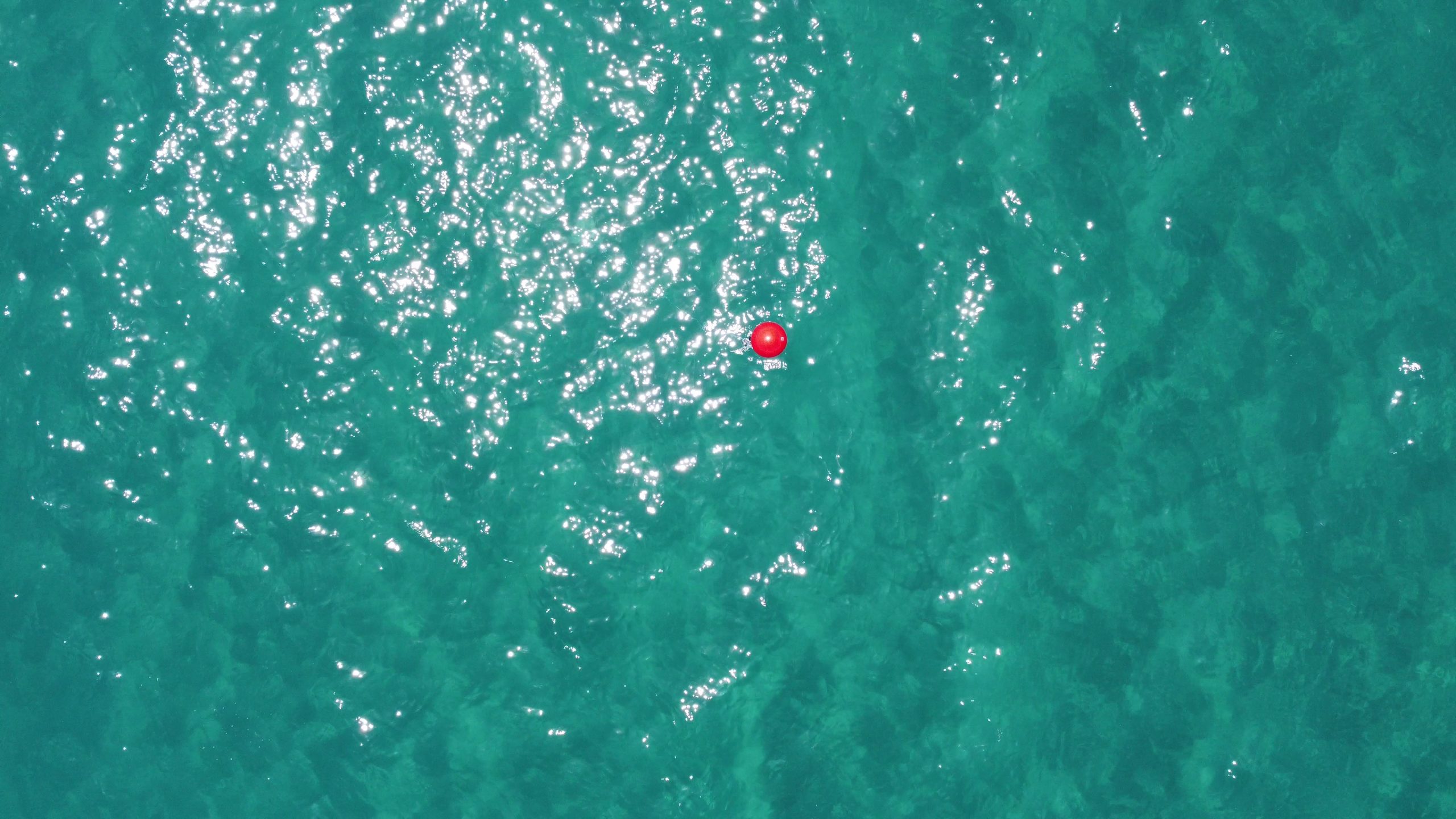
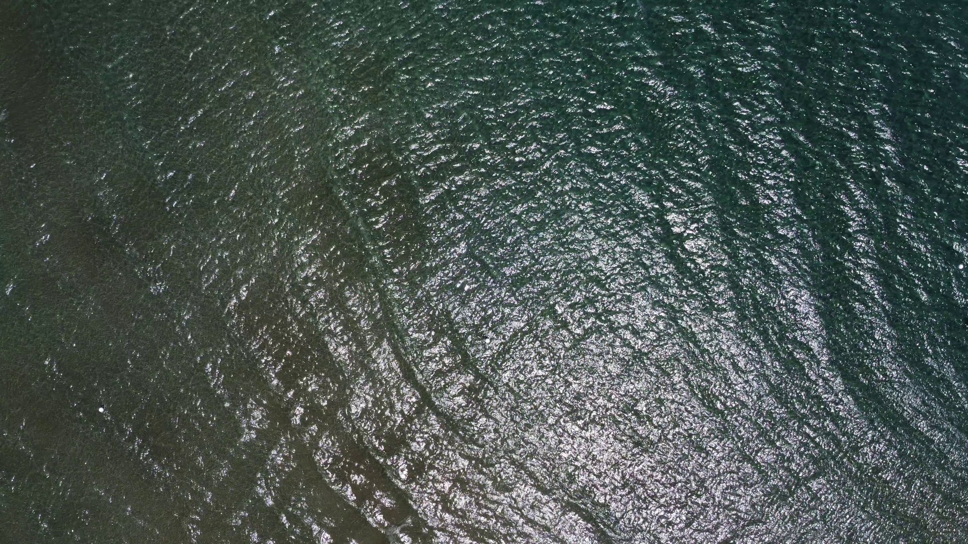
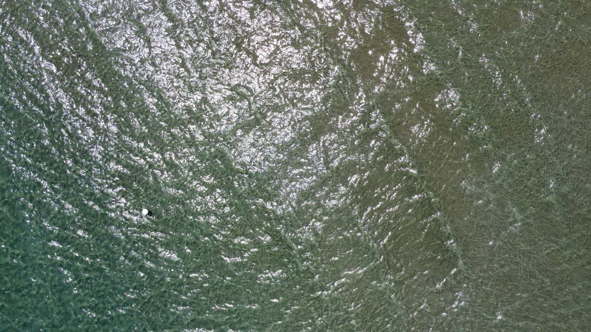
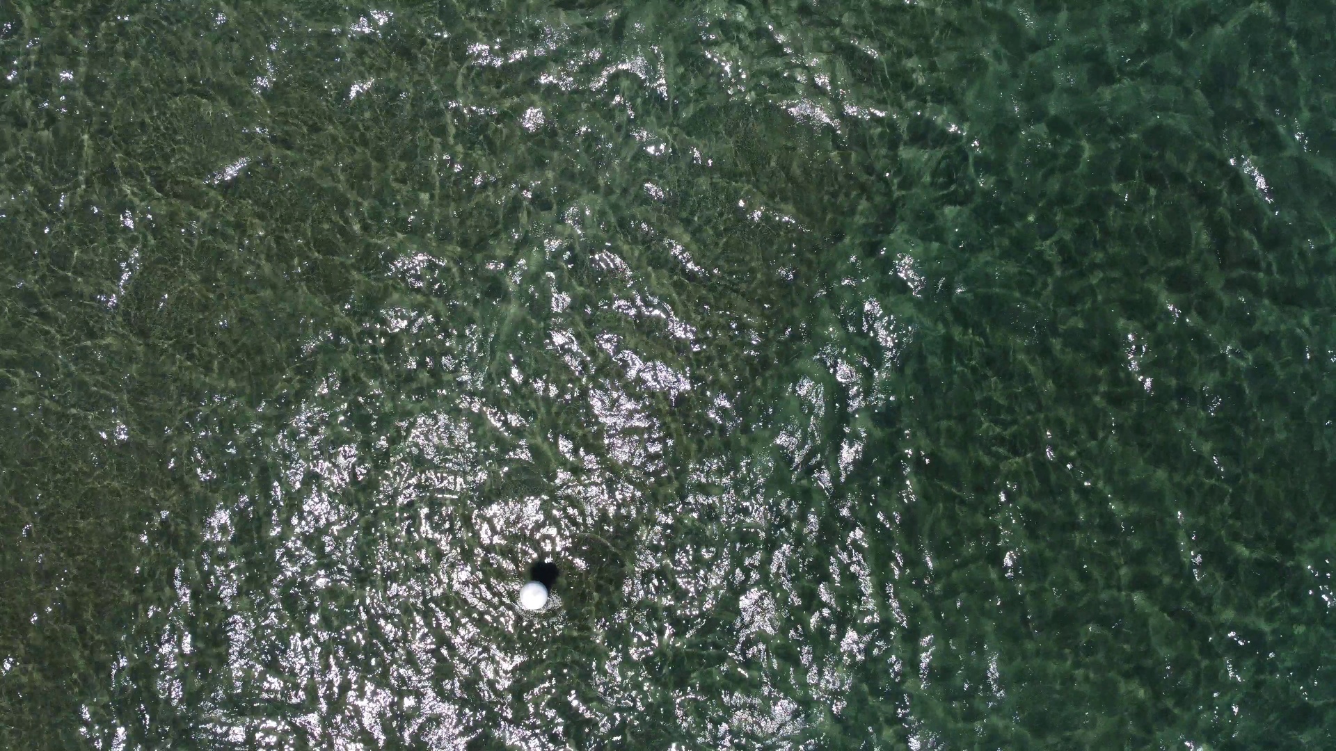
The dataset consists of top-view images of buoys from various altitudes on the coasts of Larnaca and Protaras in Cyprus. Images were captured at different altitudes in order to challenge object detectors to be able to detect smaller objects in case a UAV needs to track multiple targets, which leads to flying at a higher altitude. There is only one class annotated on all images which is labeled as ‘buoy’. Additionally, all annotations were converted into VOC and COCO formats for training in numerous frameworks. The dataset consists of the following images and detection objects (buoys):
| Subset | Images | Buoys |
| Training | 10814 | 14811 |
| Validation | 1350 | 1865 |
| Testing | 1352 | 1827 |
It is advised to further enhance the dataset so that random augmentations are probabilistically applied to each image prior to adding it to the batch for training. Specifically, there are a number of possible transformations such as geometric (rotations, translations, horizontal axis mirroring, cropping, and zooming), as well as image manipulations (illumination changes, color shifting, blurring, sharpening, and shadowing).