
In AIDERS platform, it is possible to host your own OpenStreetMap PNG tile server locally on your machine. This allows you to deploy and run the 3D map environment in an offline-mode (does not need internet connection).
For this to work, you have to download the map data for the region you want. All the data for each region (country or continent) can be downloaded from here: https://download.geofabrik.de/.
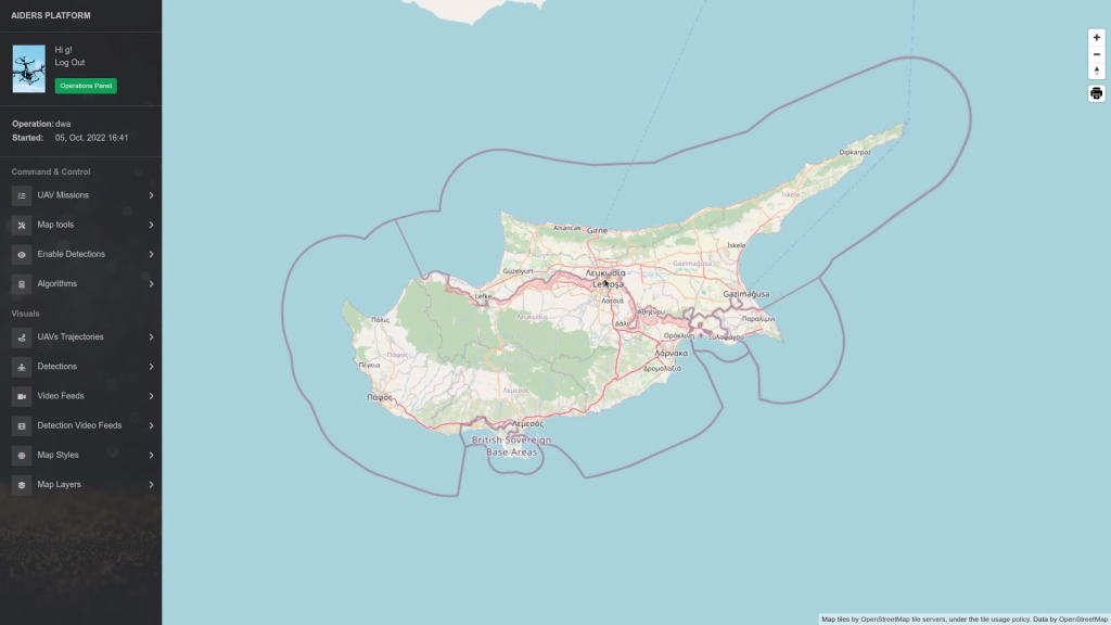
You will need to download two files in order to display the offline data for a region; The *-latest.osm.pbf (contains all the map data) and the *.poly file (contains the boundaries of the region). Instructions below explain step by step how to download and serve the map data for Cyprus. The steps however are the same for any other country or continent. Before moving on, make sure that the AIDERS platform is installed on your machine.
Instructions:
- Download the cyprus-latest.osm.pbf file from here and put it on your Desktop folder
- Download the cyprus.poly file by clicking here and then right click > Save As .. and put it on your Desktop folder with the name cyprus.poly
- Note the paths for the files you just downloaded from step 1 and step 2
- Open a terminal on any directory and run the following command (remember to replace the paths with your own) to start the import process of the map data. The import process requires an internet connection:
- Replace /absolute/path/to/cyprus-latest.osm.pbf with the path you noted on step 1.
- Replace /absolute/path/to/cyprus.poly with the path you noted on step 2.
-
time docker run -v /absolute/path/to/cyprus-latest.osm.pbf:/data/region.osm.pbf -v /absolute/path/to/cyprus.poly:/data/region.poly -v osm-data:/data/database/ overv/openstreetmap-tile-server:2.2.0 import
- After the import process is finished, you should see a new directory osm-data in your aiders_installation_files directory. This folder contains all of the map data for the region you’ve downloaded!
- You can now start the platform by executing: ./start_platform.sh --netip <your_ip_here> (example: ./start_platform.sh --netip 192.168.5.2).
- At this point, no internet connection is required anymore and the map data can be served offline. Further information about the tool that is used for the offline map functionality can be found here: https://github.com/Overv/openstreetmap-tile-server