Emergency Response Technologies
The KIOS CoE develops state of the art tools and methodologies for emergency response management, monitoring and inspection of critical infrastructures through the utilization of Unmanned Aerial Vehicle (UAVs), sensors and robotics technologies.
These technologies are used for the development of intelligent functionalities including automated path-planning, real-time image analysis, object detection and coordination architectures for multi-drone systems that ensure scalable and robust operations.
The key benefits of such systems include, the enhancement of public safety, improvement of CIS efficiency, safety of operations and hazards avoidance, reduction of person-hours and costs.
Capabilities
Autonomous & Multi-Agent Systems
Computer Vision & Machine learning
Research, development and testing of Computer Vision (CV) and Machine Learning (ML) algorithms (Convolutional Neural Networks, Transformers, Optical Flow, 3D Vision, Visual Tracking, etc.) in order to classify, detect, segment, and estimate pose of objects, or moving targets, and provide complete scene understanding using aerial footage, either in real-time or offline. Development and testing of CVML algorithms and methodologies to analyze motion of moving objects, e.g., velocity, direction, or estimate internal camera parameters/motion. Read More: here
Signal Processing Algorithms
Hardware Prototyping & Integration
Use Cases
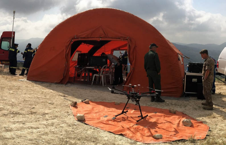
Disaster Management & Emergency Response
Development of state-of-the-art technologies for drone deployment during and post disaster situations, for providing situational awareness to First Responders concerning the area in distress. Swarms of UAVs are also employed to conduct automated reconnaissance missions for high-quality real-time mapping, terrain classification (i.e., burned and vegetated areas), propagation prediction of large-scale incidents (e.g. fire/flood modelling, cascading effects).
Traffic Monitoring
Development of traffic monitoring tools using video footage acquired with UAVs. Convolutional neural networks along with multiple tracking algorithms are employed to successfully detect and track moving vehicles. In addition, the developed approaches allow the extraction of vehicle state information (vehicles’ velocities, directions, trajectories, distance to leading vehicles, number of vehicles crossing points on the road) and road-lanes state estimation (average speed and density), either in real-time or offline for further analysis.
Autonomous Navigation & Trajectory Planning
Automated multi-tasking operation for effective search, detection, localization and track for reliable and resilient vehicle operations. Various methods are employed, including multi-latteration, least squares, sensor fusion, optimal learning and frequency selection to provide location estimates in real-time. Learning techniques, optimization methods and filtering methodologies are also applied for enhancing tracking capabilities during operations.
Critical Infrastructure Inspection
Integration of multiple camera sensors (RGB, thermal, multispectral, lidar) for acquiring high quality spatio-temporal data in a systematic, safe and fast way. Vision-based algorithms are developed to detect, track and identify infrastructure components (e.g. power lines and telecommunication transceivers) and surrounding obstacles, to provide the means for actionable decisions related to proactive maintenance (including faults, damages, and obstacles).
CONTACT US
For collaborations or request for the use of the emergency response technologies please send us an email.

Dr. Christos Kyrkou
Research Lecturer
